Buscar
Mostrando ítems 1-10 de 11
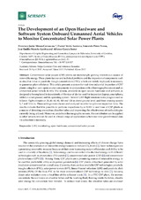
The Development of an Open Hardware and Software System Onboard Unmanned Aerial Vehicles to Monitor Concentrated Solar Power Plants
(MDPI, 2017)
Concentrated solar power (CSP) plants are increasingly gaining interest as a source of
renewable energy. These plants face several technical problems and the inspection of components such
as absorber tubes in parabolic ...
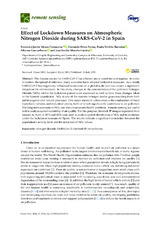
Effect of Lockdown Measures on Atmospheric Nitrogen Dioxide during SARS-CoV-2 in Spain
(MDPI, 2020)
The disease caused by SARS-CoV-2 has affected many countries and regions. In order to contain the spread of infection, many countries have adopted lockdown measures. As a result, SARS-CoV-2 has negatively influenced economies ...
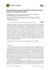
Project-Based Learning Applied to Unmanned Aerial Systems and Remote Sensing
(MDPI, 2019)
The development of unmanned aerial vehicle (UAV) technology and the miniaturization of sensors have changed the way remote sensing (RS) is used, popularizing this geoscientific discipline in other fields, such as precision ...
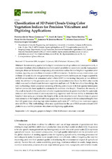
Classification of 3D Point Clouds Using Color Vegetation Indices for Precision Viticulture and Digitizing Applications
(MDPI, 2020)
Remote sensing applied in the digital transformation of agriculture and, more particularly, in precision viticulture offers methods to map field spatial variability to support site-specific management strategies; these can ...
Assessing Optimal Flight Parameters for Generating Accurate Multispectral Orthomosaicks by UAV to Support Site-Specific Crop Management
(MDPI, 2015)
This article describes the technical specifications and configuration of a multirotor unmanned aerial vehicle (UAV) to acquire remote images using a six-band multispectral sensor. Several flight missions were programmed ...
Drift Correction of Lightweight Microbolometer Thermal Sensors On-Board Unmanned Aerial Vehicles
(MDPI, 2018)
The development of lightweight sensors compatible with mini unmanned aerial vehicles
(UAVs) has expanded the agronomical applications of remote sensing. Of particular interest in this
paper are thermal sensors based on ...
An Analysis of the Influence of Flight Parameters in the Generation of Unmanned Aerial Vehicle (UAV) Orthomosaicks to Survey Archaeological Areas
(MDPI, 2016)
This article describes the configuration and technical specifications of a multi-rotor
unmanned aerial vehicle (UAV) using a red–green–blue (RGB) sensor for the acquisition of images
needed for the production of orthomosaics ...
Wavelength Selection Method Based on Partial Least Square from Hyperspectral Unmanned Aerial Vehicle Orthomosaic of Irrigated Olive Orchards
(MDPI, 2020)
Identifying and mapping irrigated areas is essential for a variety of applications such as agricultural planning and water resource management. Irrigated plots are mainly identified using supervised classification of ...
Machine Learning Methods and Synthetic Data Generation to Predict Large Wildfires
(MDPI, 2021)
Wildfires are becoming more frequent in different parts of the globe, and the ability to predict when and where they will occur is a complex process. Identifying wildfire events with high probability of becoming a large ...
Opportunities of super high-density olive orchard to improve soil quality: Management guidelines for application of pruning residues
(Elsevier, 2021)
Applying pruning residues in the lanes of olive groves has become a popular practice because it is economical and accrues benefits for soil and water management. This study presents an analysis of the impact of different ...